| Humber estuary - United Kingdom |
| Complete description
of case study |
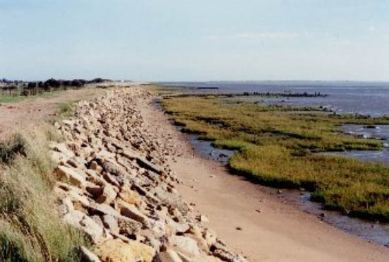
PHOTO OF THE SITE
 |
|
CASE STUDY
| Title | Humber estuary |
| National level | United Kingdom |
| Regional level | Northumberland |
ABSTRACT
|
The Humber estuary is located on the east coast of the United Kingdom and comprises extensive wetland and coastal habitats. Sea level rise is expected to be the most important parameter concerning erosion in the Humber. As a result, the surface area of valuable inter-tidal salt marshes and mud flats is expected to decrease. Additionally, safety for the hinterland will be threatened as the water level in the estuary rises. Increasing foreshore erosion, with sea level rise, will threaten more of the defences and increase the expenditure needed to keep them in an acceptable condition. In the estuary, human interference is very important. Embankments have fixed the coastline, this influences the response of the estuary to relative sea level rise. The natural landward movement of the coastline is made impossible and this causes erosion of the tidal marshes and foreshores. The current defence system keeps the hinterland – consisting of people and investments – safe. Foreshore erosion is a threat to the defence system and, therefore, to the safety of the people and investments in the flood plain of the Humber estuary. In addition, another measure, moving the defence line back, can compensate for the expected loss of tidal marshes and flats because of sea level rise (coastal squeeze). A complementary advantage of this measure, when applied in the inner estuary, is the lowering of water levels in the estuary, reducing the risk of flooding. The current defence system functions properly. However, rising sea levels are causing local foreshore erosion and loss of tidal marshes through coastal squeeze. In the future, due to sea level rise, supplementary measures will be necessary to provide a sufficient standard of protection for the flood plain. |
BASIC INFORMATION
| Coastal characteristics |
|
| Policy options | Present:
hold the line Future: hold the line, managed realignment |
| Socio-economic activities | Industry, transport and energy, fisheries and aquaculture, nature conservation, agriculture and forestry, tourism and recreation.. |
| Engineering techniques | Flood defences (earth embankments), revetments, seawalls, tidal marsh recreation |
SOURCE
| Name | Philip Winn |
| Institution | Environment Agency |
| philip.winn@environment-agency.gov.uk |