| Shabla - Krapetz - Bulgaria |
| Complete description
of case study |
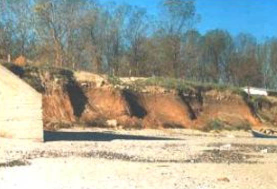
PHOTO OF THE SITE
 |
|
CASE STUDY
| Title | Shabla - Krapetz |
| National level | Bulgaria |
| Regional level | Region of Dobrich |
| Local leve | Shabla Municipality |
ABSTRACT
|
The area of Shabla community covers the northern-most Bulgarian coastal municipality. Shabla area is a low plateau, slightly elevated and inclined towards the sea. From Cape Sivribourun to Cape Shabla the coast is low, combination of cliff sections and beach strips with dunes up to 18m high and 600m wide. From Cape Shabla to Tyulenovo village the coast is comprised by cliffs and gradually increases its height starting from 5-6m. The coast of the Shabla community area is closed between the Cape Sivribourun (Bulgarian-Romanian border) and the border of Tyulenovo village. The beaches in the area are predominantly plain or with dune structure. They are constituted by fine sands and detritus. The erosion factors include mainly natural driving forces - winds, storms, waves and sea level rise. There is significant activating influence on the sea abrasion by the seasonal fluctuations of the sea level. The slope deformations because of the abrasion and the gravity lead to the expansion of cracks and to intensive demolishing of huge packages of the coastal cliff which are completely washed away with the time. The municipality is a small one and has a population of 6,900. This means a low population density of 21.2 inhabitants per km2. The main economic functions of the coastal zone are agriculture & forestry and industry, followed in less importance the tourism, fisheries and nature conservation. The policy option used is a combination of hold the line and managed realignment in some sections of the coast, using mainly hard measures with certain use of soft measures. In the case of Cape Shabla site a plan and a construction project was ordered by the municipality to work out a comprehensive urban plan of the both fishermen villages existing as a traditional urbanised formations, including coastal protection facilities and one small port to be used by the fishermen and for yachts with the necessary infrastructure. For Cape Shabla, the erosion process has stopped and it is really holding the line. Fortunately for Krapetz, the existing wall is located directly before the village and the effects are clear - the erosion stopped, the roads and houses near to the shore are safe and a small park has been developed. Of course the aesthetics of such a facility is far from the natural beauty of this area. But always there has to be a compromise solution between the real beauty and the inevitable loss of this beauty and from the other side a coastal protection facility with technical efficiency and best possible aesthetics or appearance of the coast. The problem of coastal protection here is treated in a best possible way and in harmony with all the interests at the coast and with the participation of all the stakeholders. |
BASIC INFORMATION
| Coastal characteristics |
|
| Policy options | Hold the line, managed realignment |
| Socio-economic activities | Tourism and recreation, Fishing, Agriculture, Commerce, Services, Traditional way of life of the coastal population, Transport, Ports, Nature conservation, Environment protection, Sustainable urbanization |
| Engineering techniques | Seawall, dyke |
SOURCE
| Name | Dr.
Konstantin R. Galabov Ms. Ivanka Gospodinova |
| Institution | Consultant Shabla municipality |
| Address |
Elemag
Str. No. 15, Bl.307, Ap. 30 Ravno pole
Str. No. 35 |
| Telephone / fax |
+35 92 658 908 / +35 92 658 908 +35 90 5743 2045 / +35 90 5743 2204 |
| krgalabov@interbgc.com kgalabov@techno-link.com obcshabla@infotel.bg |