| Elbe Estuary - Germany |
| Complete description
of case study |
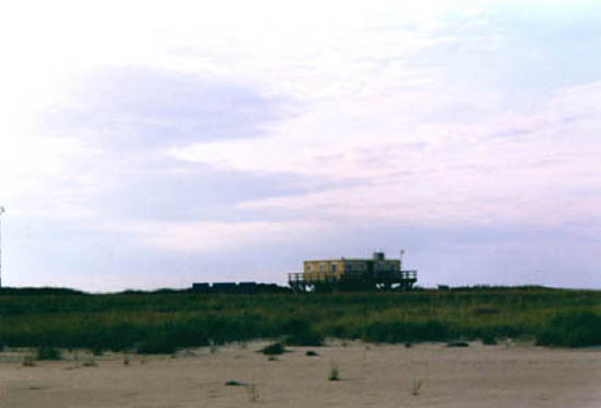
PHOTO OF THE SITE
 |
|
CASE STUDY
| Title | Elbe Estuary |
| National level | Germany |
| Regional level | Hamburg |
| Local level | National Park Hamburgisches Wattenmeer |
ABSTRACT
|
The Hamburgisches Wattenmeer National Park, with a surface area of c. 11,700ha, is situated in the estuary of the river Elbe. The morphology of the Elbe estuaries has been altered in order to optimize their function as shipping routes and they have an overall tendency for sedimentation instead of erosion. This is mainly caused by an asymmetrical tidal period. Therefore, no major problems are found due to erosion and few measures are taken. A major success was achieved when the artificial island of Nigehoern was colonized by migrating birds the first year after it was built. This island has more or less taken over the role of the rapidly shrinking island Scharhoern, so the loss of this tidal marsh island has been compensated for. The salt marshes are being protected by several means, with an overall change to soft measures since the 1970s. The effect is difficult to assess, as the marshes also have a natural capacity to compensate for the effects of sea level rise and thus accrete and rise in level. |
BASIC INFORMATION
| Coastal characteristics |
|
| Policy options | Hold the line |
| Socio-economic activities | Shipping/transport, Tourism and recreation, Fisheries and aquaculture, Nature conservation. |
| Engineering techniques | Revetments, creation saltmarshes from dredged material, outbanking of summer polders, groyne fields, artificial drainage, grazing. |
SOURCE
| Name | Jacobus Hofstede |
| Institution | Ministerium für ländliche Räume, Landesplanung, Landwirtschaft und Tourismus des Landes Schleswig-Holstein, Germany |
| Jacobus.Hofstede@MLR.LANDISH.DE |