| Data
description |
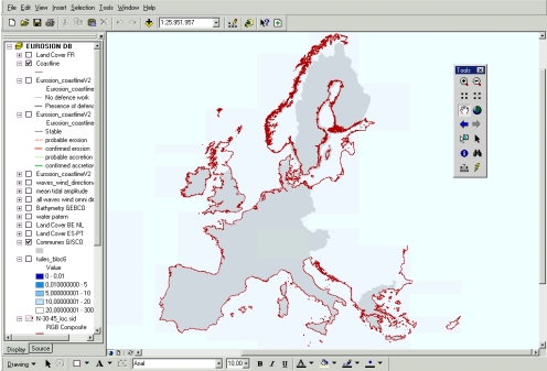
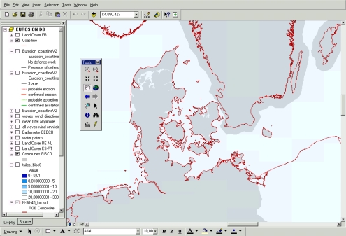
The
EUROSION shoreline is a seamless representation of the limit between land
and sea, at the scale of 1:100,000 covering the whole Europe. |
| Source
of data |
The
construction of the EUROSION shoreline results from a three-step process:
-
a baseline shoreline for the whole European coastline has been compiled
using different sources of data: (i) the first version of CORINE Coastal
Erosion for EU countries as of 1990 (this version was derived from digitisation
of topographical maps), (ii) SABE CoastLine – at scale 1:100,000 - for
countries which joined EU after 1990 and Centre East European Countries,
(iii) the World Vector Shoreline (WVS) – at scale 1:250,000 – for some
specific territories such as Crete and other greek islands, Malta, Cyprus,
Baltic States and Romania. GISCO 1:1 Million is used to “connect” EU
territories (e.g. Slovenia with Greece, Greece and Black Sea region)
and complete ultraperipheral regions.
-
Comparison of the baseline shoreline with declassified LANDSAT satellite
images distributed by NASA has made it possible to identify and fill
data gaps (especially the delineation of estuaries and missing islands)
-
The baseline shoreline is then being improved locally as part of the
process to produce the layer “Geomorphology and geology” (see corresponding
section). Improvements are based upon large scale maps (in general 1:50,000).
|
| Geographical
restrictions |
No
geographical restriction. |
| Quality |
EUROSION
shoreline has an average accuracy estimated to 50 meters. It means Quick
start to EUROSION database 6 that the position of the “real” shoreline lies
on average within a radius of 50 meters from EUROSION shoreline representation.
This accuracy is estimated by comparing the EUROSION shoreline representation
with declassified LANDSAT satellite images distributed by NASA. We strongly
recommend that the accuracy of EUROSION shoreline is also assessed using
IMAGE 2000 data when available. |
| Copyright
and data access conditions |
EUROSION shoreline is a hybrid product derived from various copyrighted
and copyright-free data sources. Its use is without restriction within the
European Commission. However, its use by external users is subject to restrictions
which will be clarified before the completion of EUROSION. |