| Data
description |
The
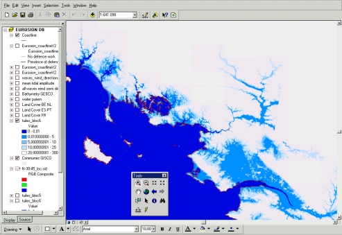
Elevation layer makes it possible to identify lowlands which are vulnerable
to significant sea level rise and the risk of flooding. Elevation data
are provided in two forms:
- A Digital
Terrain Model (DTM) which consists in a grid data of altitudes with
a 90 to 100m resolution
- 5 meter
and 10 meter height contour lines, in vector format, derived from the
DTM and completed where needed with other sources of data.
|
| Source
of data |
The
Digital Terrain Model, MONA PRO Europe©, is a copyrighted product
provided by Geosys Data. To derive contour lines of 5 and 10 meters, the
data were locally complemented with other sources, namely national DTM
and digitised topographical maps. |
| Geographical
restrictions |
Restrictions for Scandinavian countries. |
| Quality |
The
resolution of grid data is 90 to 100 meters. Its geometrical accuracy in
x,y and z does not exceed 5 meters for lowlying areas and 15 meters for
mountainous areas. |
| Copyright
and data access conditions |
MONA PRO Europe© is copyrighted. A multi-posts "agency" license
has been acquired for the European Commission, which makes the product available
for applications developed within the European Commission. Dissemination
outside the European Commission is restricted to raster representations
(i.e. images) of the DTM. However, most of contour lines are copyright-free
and publicly available. |
