| Data
description |
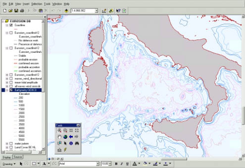
The
bathymetric layer depicts the following isobaths: 200m, 500, 1000m, 1500m,
2000m, 2500m, 3000m, 3500m, 4000m, 4500m, and 5000m. Data are provided
as a GIS polyline. |
| Source
of data |
Isobaths
are extracted from the GEneral Bathymetric Chart of the Oceans (GEBCO)
gathered and distributed by the British Oceanographic Data Centre, on
behalf of the International Oceanographic Commission. |
| Geographical
restrictions |
GEBCO represents a European-wide unified dataset, derived from a collection
of existing maritime sheets and atlases. However, GEBCO does not ensure
the same level of details for all European waters: depending on the areas,
not all the isobaths are represented and not with the same accuracy. |
| Quality |
GEBCO
has been designed for illustrative purpose and for low resolution modelling.
Its nominal scale is 1:1,000,000, which is not suitable for applications
at scale 1:100,000. However, it is worth mentioning that GEBCO is currently
the only product featuring bathymetry in vector format and available for
all European waters. Its quality is being regularly improved by the British
Oceanographic Data Centre. |
| Copyright
and data access conditions |
The dataset is copyrighted (BODC). Licence fees for accessing the complete
database in vector format is about 250 £. It is however possible to
freely disseminate GEBCO data in raster format (e.g. .bmp, .jpg, .gif).
Only the mention of GEBCO copyright is then required. Contractually the
BODC insists to
communicate that "Data from the GEBCO Digital Atlas are not to be used
for navigation or for any other purpose relating to safety at sea". |